Location

Find us at the intersection of technology and agriculture.

Visit

123 Agri Lane, Farm City

Hours

9 AM - 5 PM

Projects

Innovative agricultural solutions.

A satellite image showing agricultural fields with NDVI data overlay.
Crop Analysis

Assessing crop health using satellite data.

An infographic illustrating crop health metrics.
Weather Insights

Forecasting weather impacts on agriculture.

A weather map displaying forecast data for farmers.
A visual representation of agricultural data analytics.
Yield Prediction

Estimating crop yields based on data.

Resource Management

Optimizing water and nutrient usage.

Gallery

A vibrant NDVI map showcasing vegetation health over a large area.
Graphical representation of weather forecast data relevant to farming.
Field view highlighting the impact of satellite data on crop management.
A close-up of NDVI indices demonstrating crop health across different regions.
An infographic illustrating the integration of weather and satellite data.

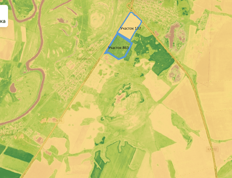
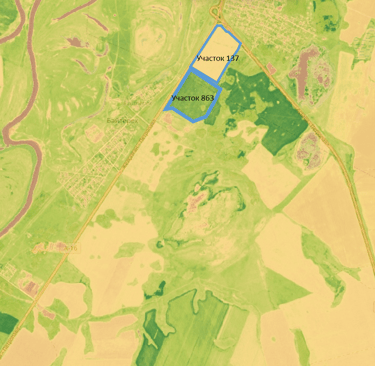
Explore our visual insights and findings.